A humorous learning process using various images, cartoons, and graphics circulating around on internet (of course I did not make any of these). This chapter is part of a series on Hierarchical Spatial Planning Framework
Have you ever come across following cartoons, graphics and images on the internet? They just pop up on google search as related images. (Of course, I did not make any of these).

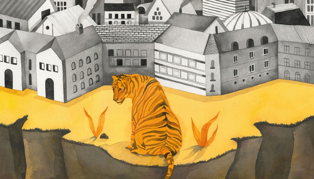
The one where the bear had always been there! Isn’t this the way we encroach on their habitats?
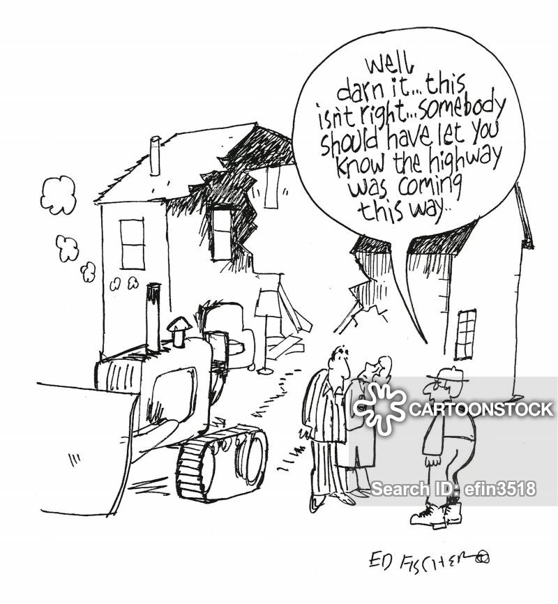
Or the one with the eviction notice?
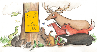
That has
Pushed the tiger to edge due to urbanisation

Or the one where the street names are now reminiscent of the ‘once upon a time’ forest…
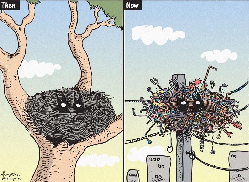
The bird’s habitat and nest construction materials are changing…
All of these suggest an under lying conflict between development and nature.
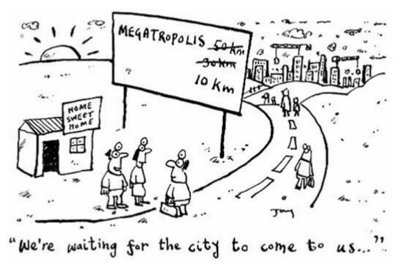
And then there are the ones on Urban Sprawl, wherein people are waiting for the town limits to expand till their house…
…Where the roads expansion has impacted rural farms and housing…
Resulting in replication of boring and similar residential developments,

as wells as the replication of amusement and entertainment patterns including replicas of heritage.
And, with all this, we are still happy to click a photograph with that lone tree in name of ecotourism

And finally, after so much of deforestation, we blame the cows and their farts for climate change

Isn’t it ironic that, recently, a UNEP post on COVID19 went ‘viral’…?

The above picture was an excerpt from the UNEP Frontiers 2016 Report – Emerging Issues of Environmental Concern. The report highlights the causes of past disease emergence in humans. See the chart below.

What is the dominant reason for emergence of diseases? Do you think, some of the other reasons may also be linked to the dominant reason?
All the images shown above have one underlying theme.
‘Land Use Change’.
Fine. But what is Land Use and how do we Plan and Manage it?

One thought on “Chapter 01: Why are we discussing this?”